

Salam Eid Al Adha to everyone! Most Malaysians love travelling back to their ‘kampung’ (villages or hometown) to celebrate Eid with the extended family. So last Thursday, I packed my bags and flew back to my dad’s hometown in Bau, Sarawak to celebrate Eid with them. The district of Bau is situated about 22km from the capital city of Kuching on the Borneo Island. Bau used to be a thriving, bustling gold mining town until the 1970s. But these days it’s a small, simple ‘kampung’ rich in natural attractions, such as limestone formation, rivers, and jungles. First on the list is Fairy Cave.
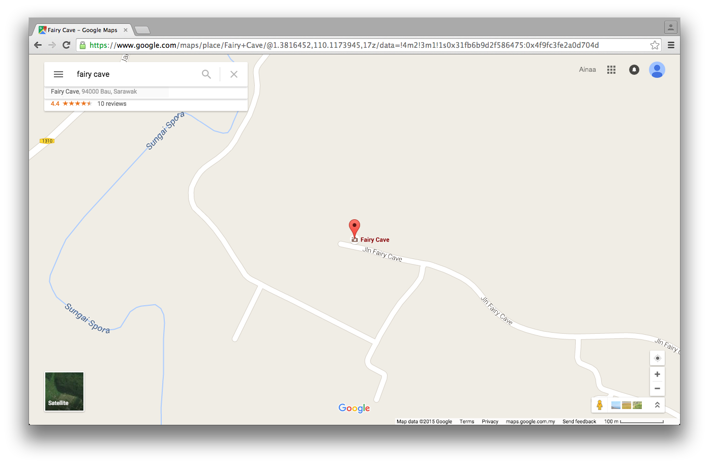
How to get there: the only way to get here from the city is by car. However, if you want to travel like the locals do, take the bus from Kuching city and walk a few kilometers from the Bau bus station.
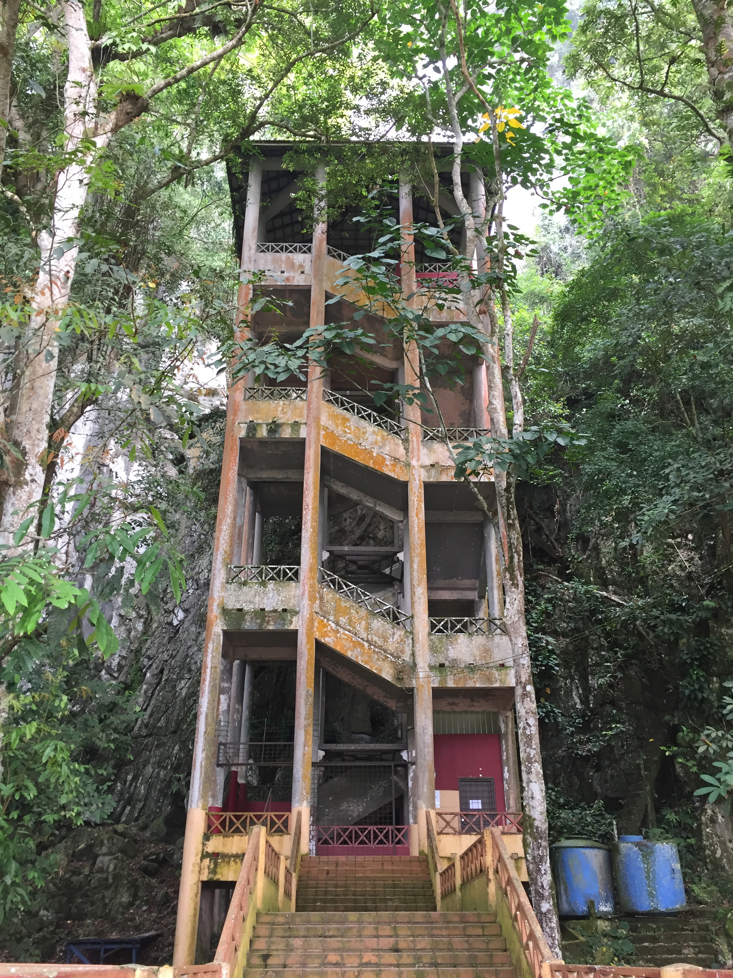
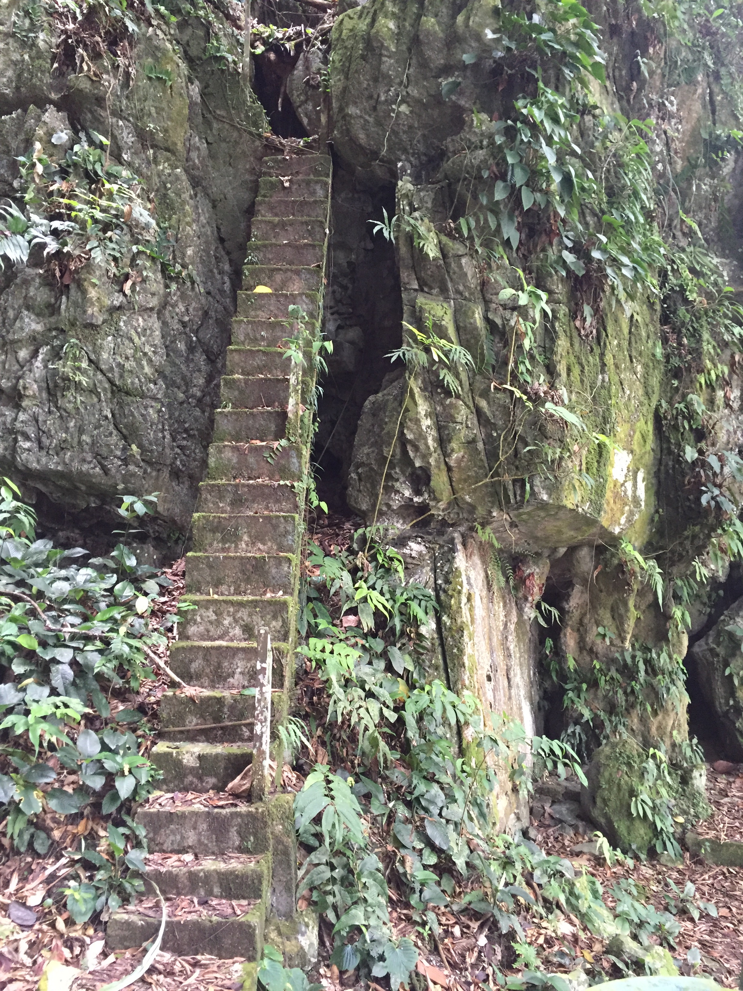
To get to the cave entrance you have to climb about 4 storeys of stairs. Alternatively, you can take a ‘faster’ route if you are feeling adventerous (Harness, helmets, and other safety equipment not included!)
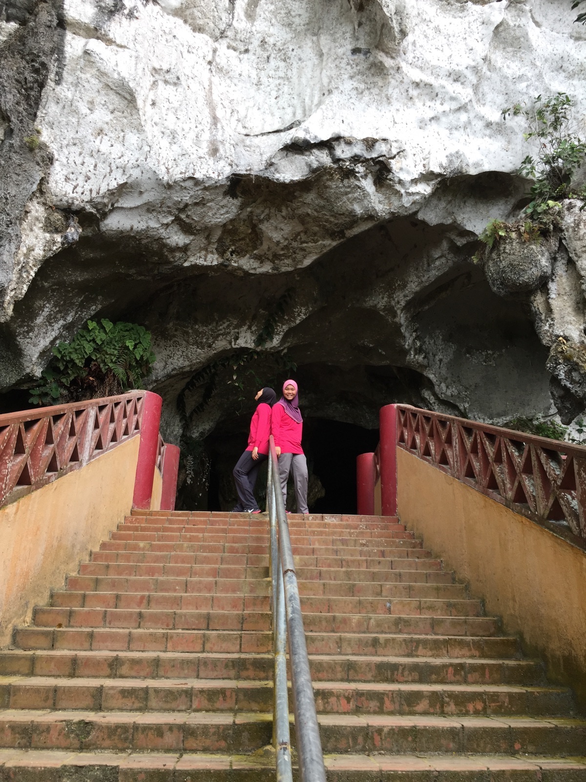
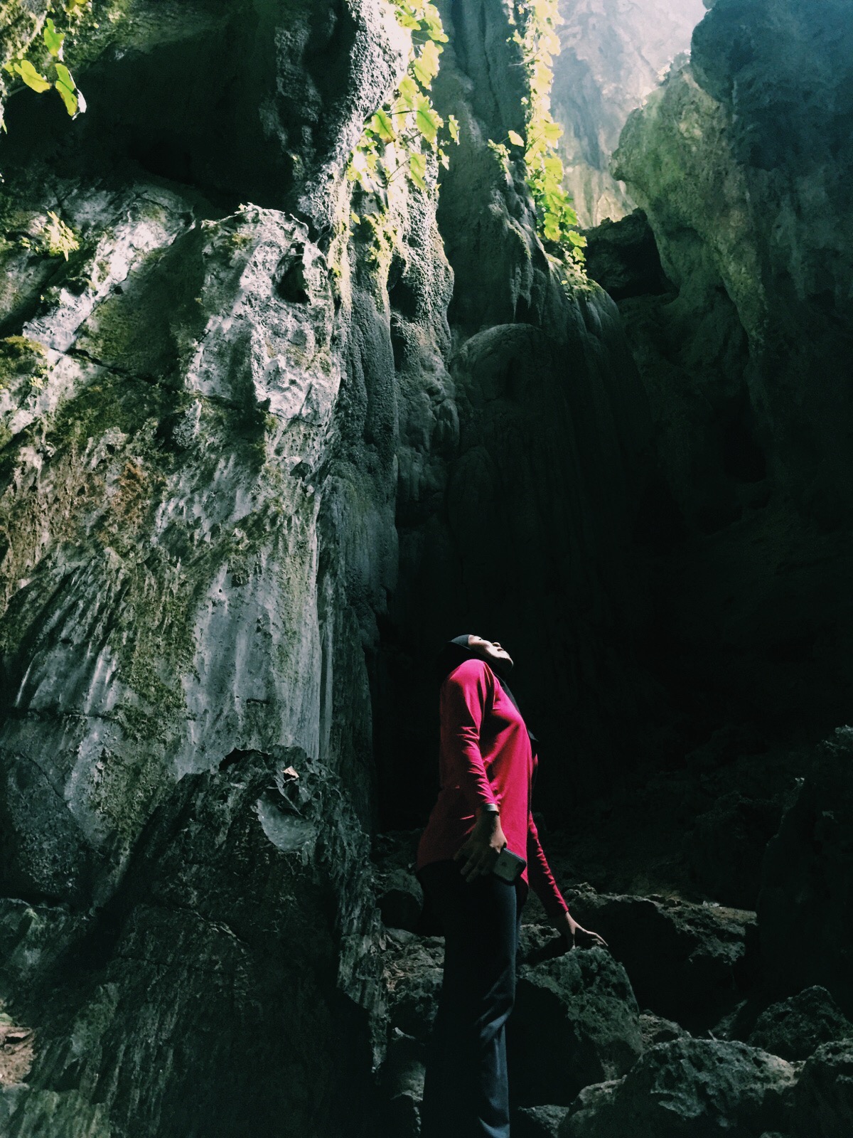
The cave entrance. Have Nashata top, will travel!
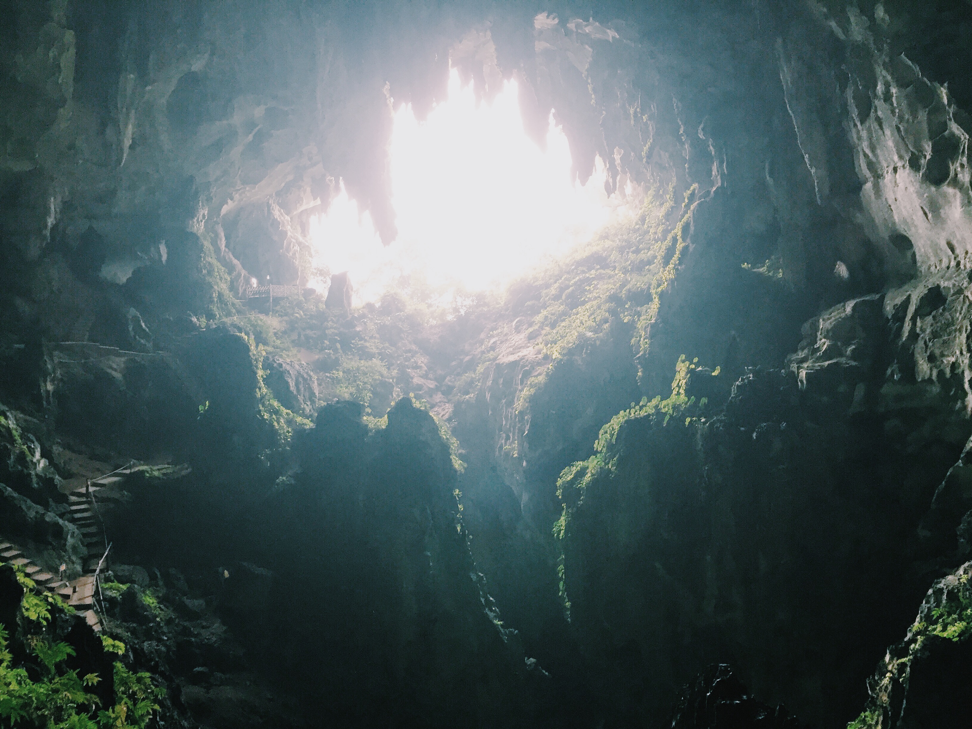
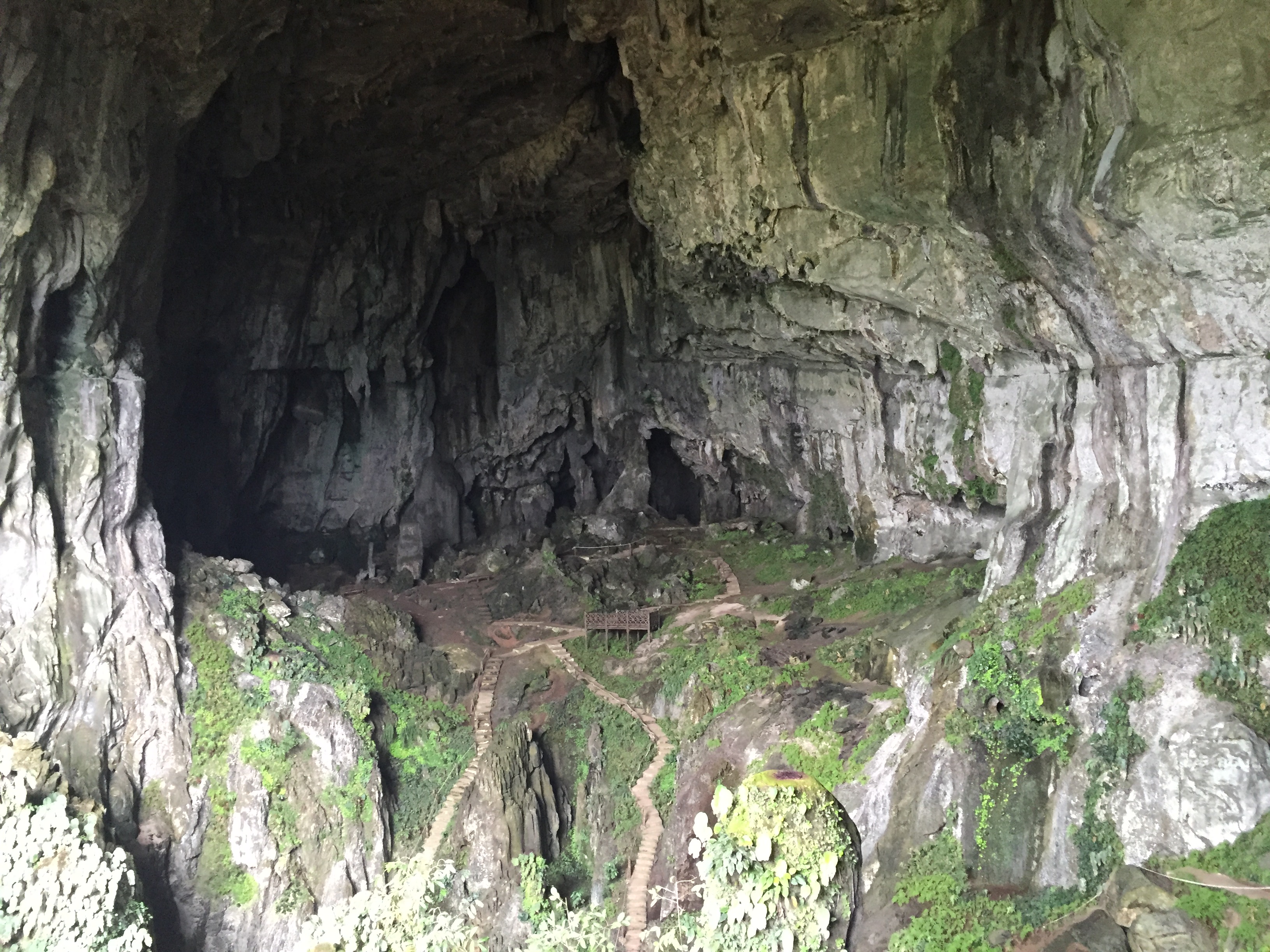
The walk into the cave will be dark. But inside, the belly of the cave will be flooded with natural light.
 According to the locals, this place is called Fairy Cave because there is a stone formation which resembles a divine deity.
Difficulty level: 1/10 – Very Easy.
Duration: Less than 30 minutes.
Additional note: Bring your own torch light.
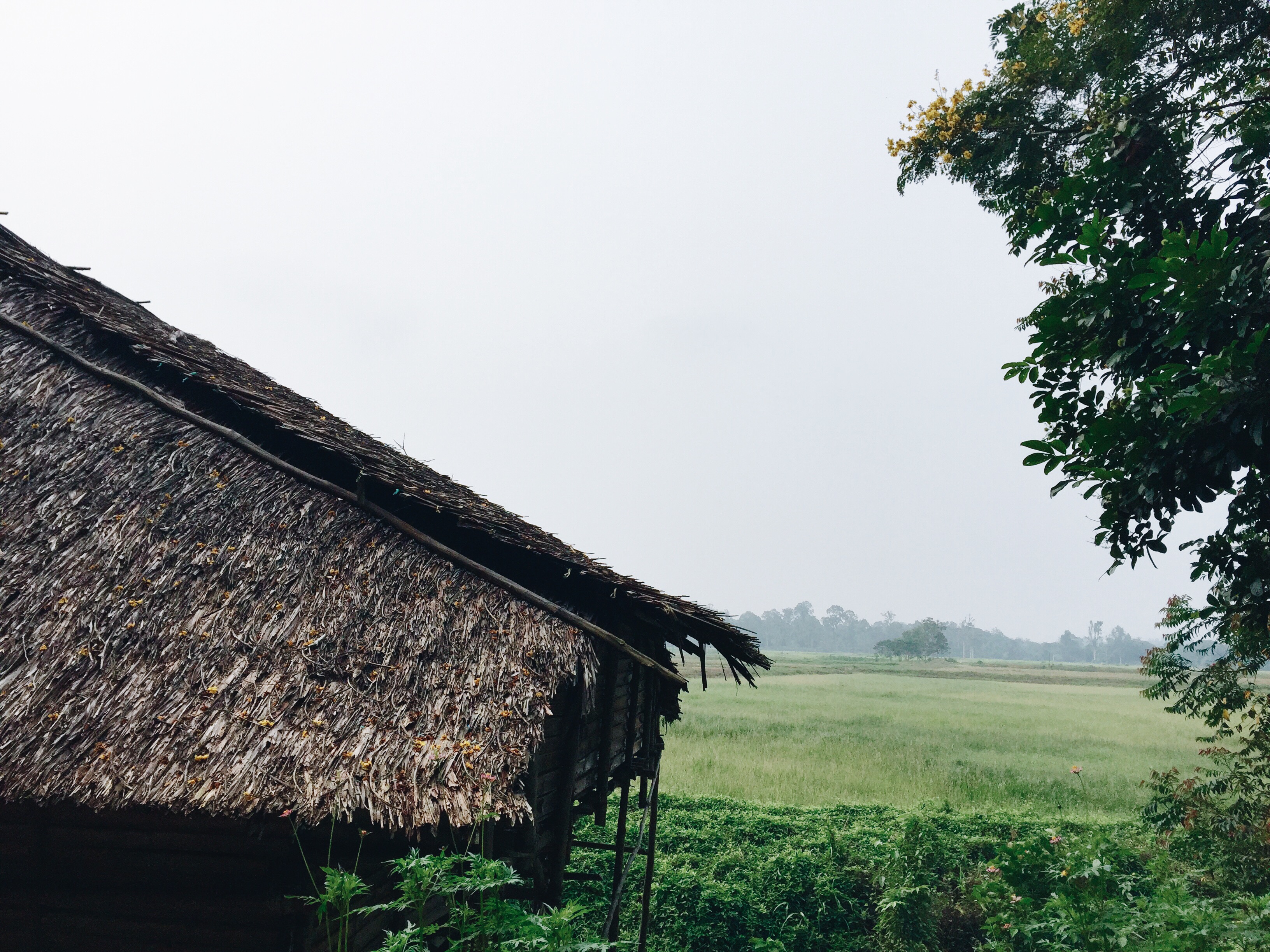
The next day, we decided to do something more adventurous; hiking up Mount Singai, located in Kampung Singai, Bau. Unlike Fairy Cave, this place is not very famous amongst tourists so we relied heavily on directions by the local villagers. Overall, the hike will take you about 4 hours in total (2 hours ascending and 2 hours descending) at a very leisurely pace. Take your time to appreciate the surroundings, and you will spot many plants species that are indigenous to Borneo only.
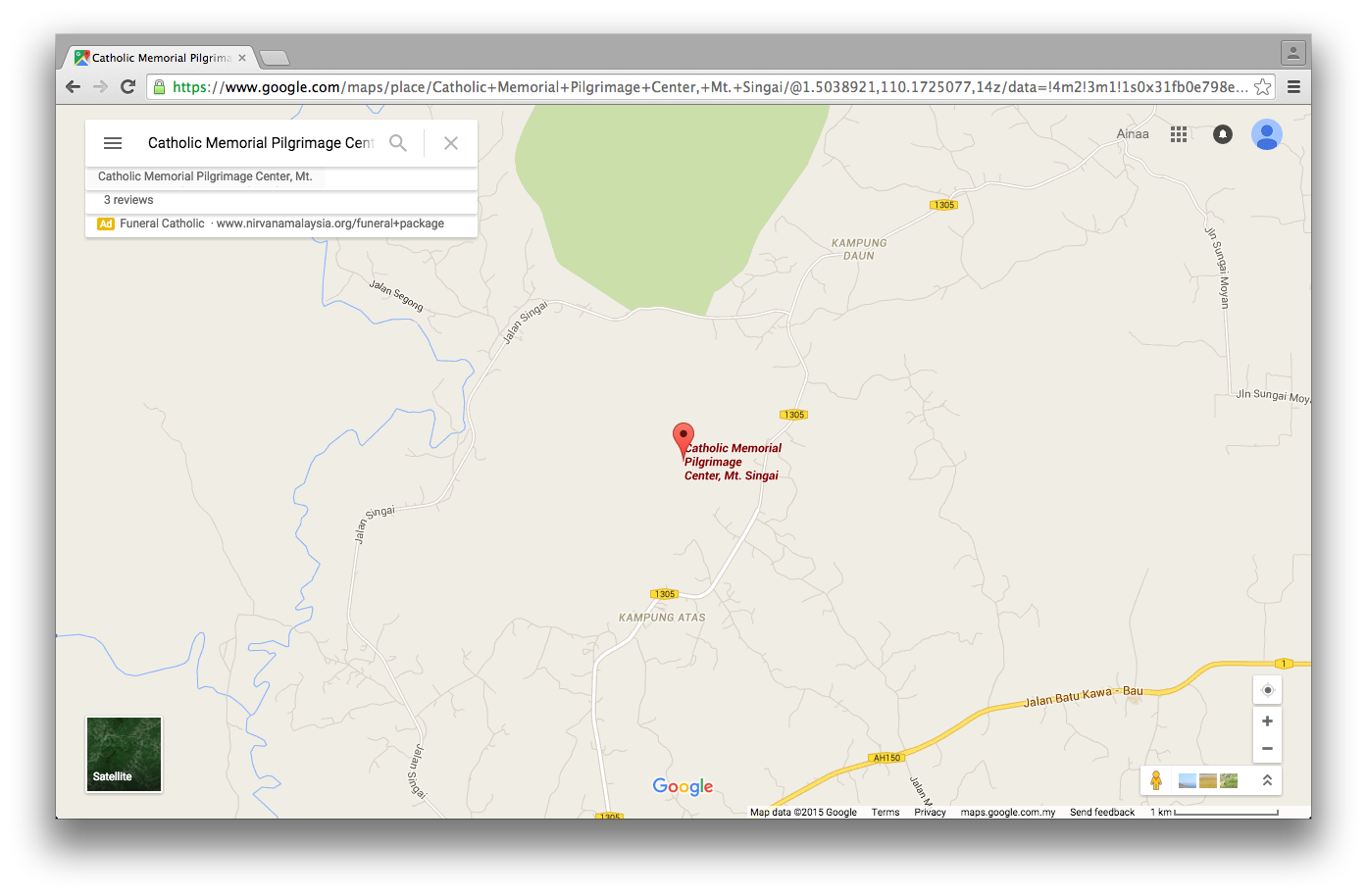 How to get there: the only way to get here from the city is by car. This is the nearest landmark to get to the parking entrance. You will need a good ol’ map to Kampung Singai and a friendly face to ask for directions, no such thing as Waze or Google around here!

This mountain is also a holy site for the locals. So there are well-maintained stairways to get to the church. The church is also a halfway marker to the peak of Mount Singai.
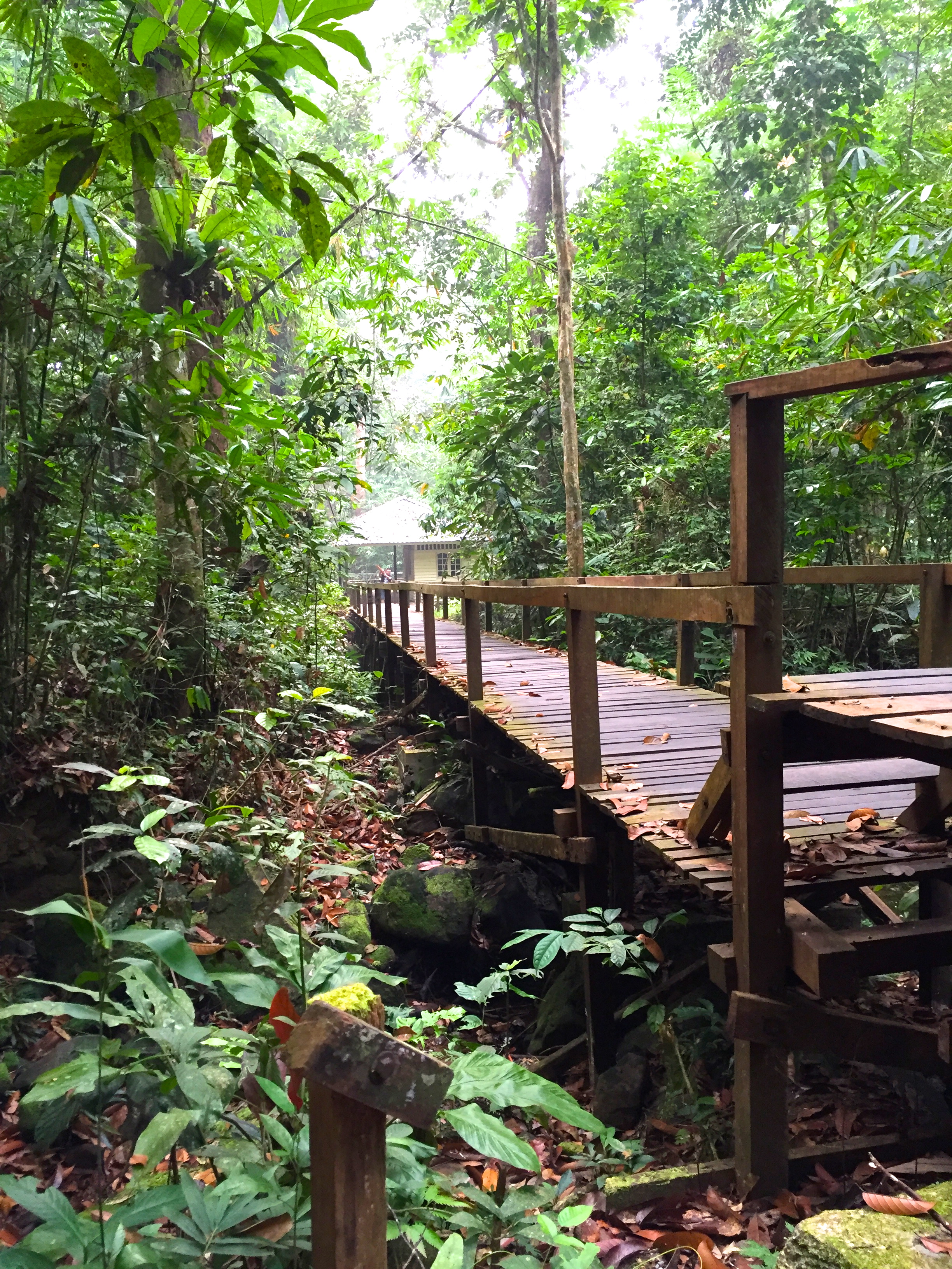
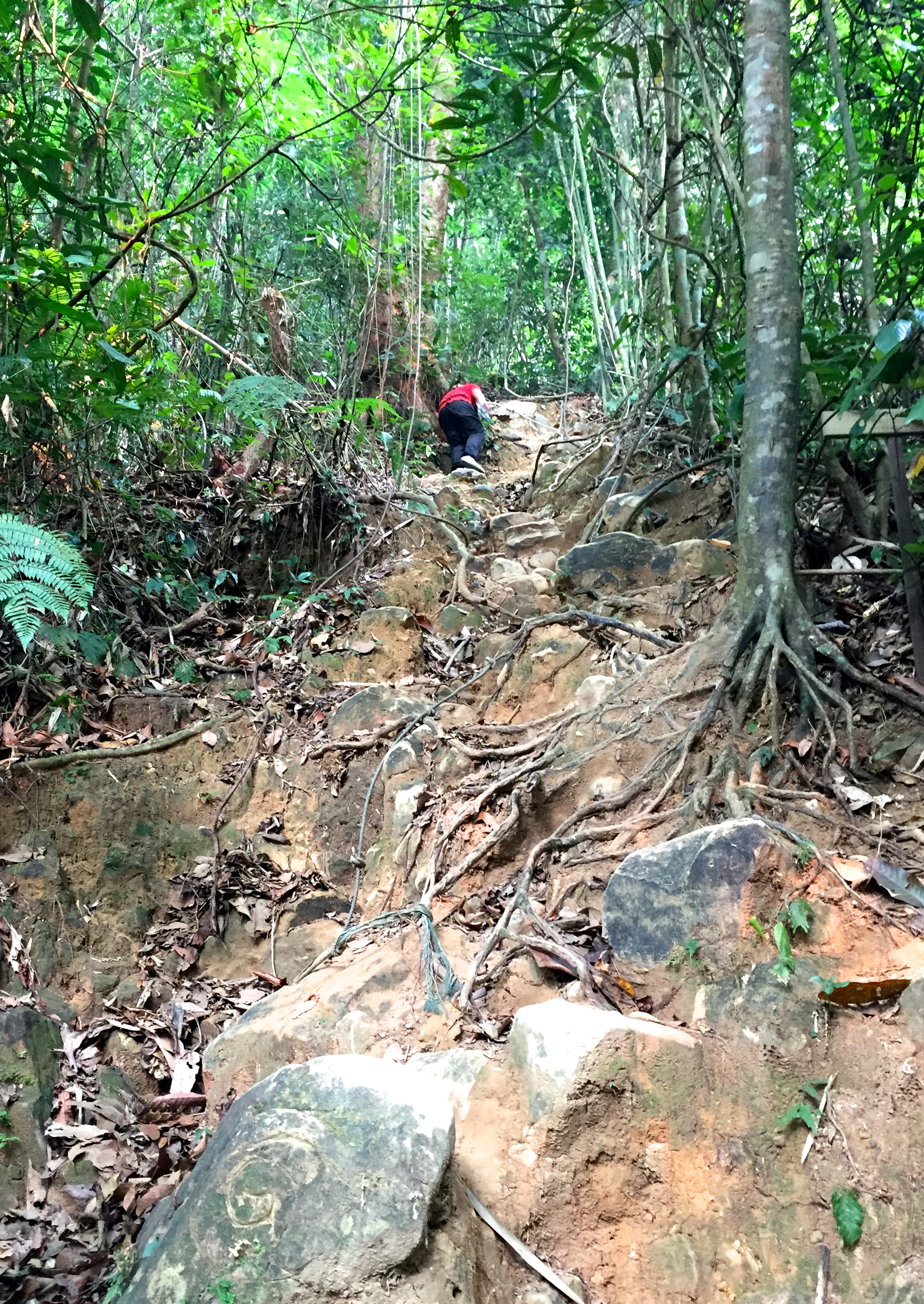 After the church is where the real fun begins!
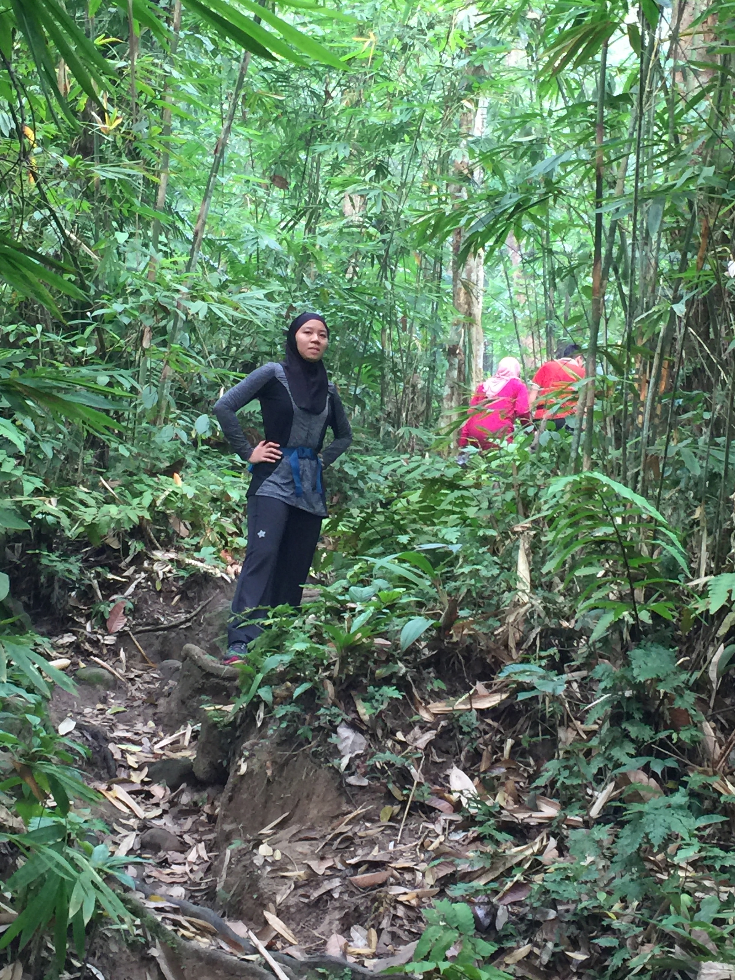
 Chatting with the locals. The old man has been coming here for all his life.
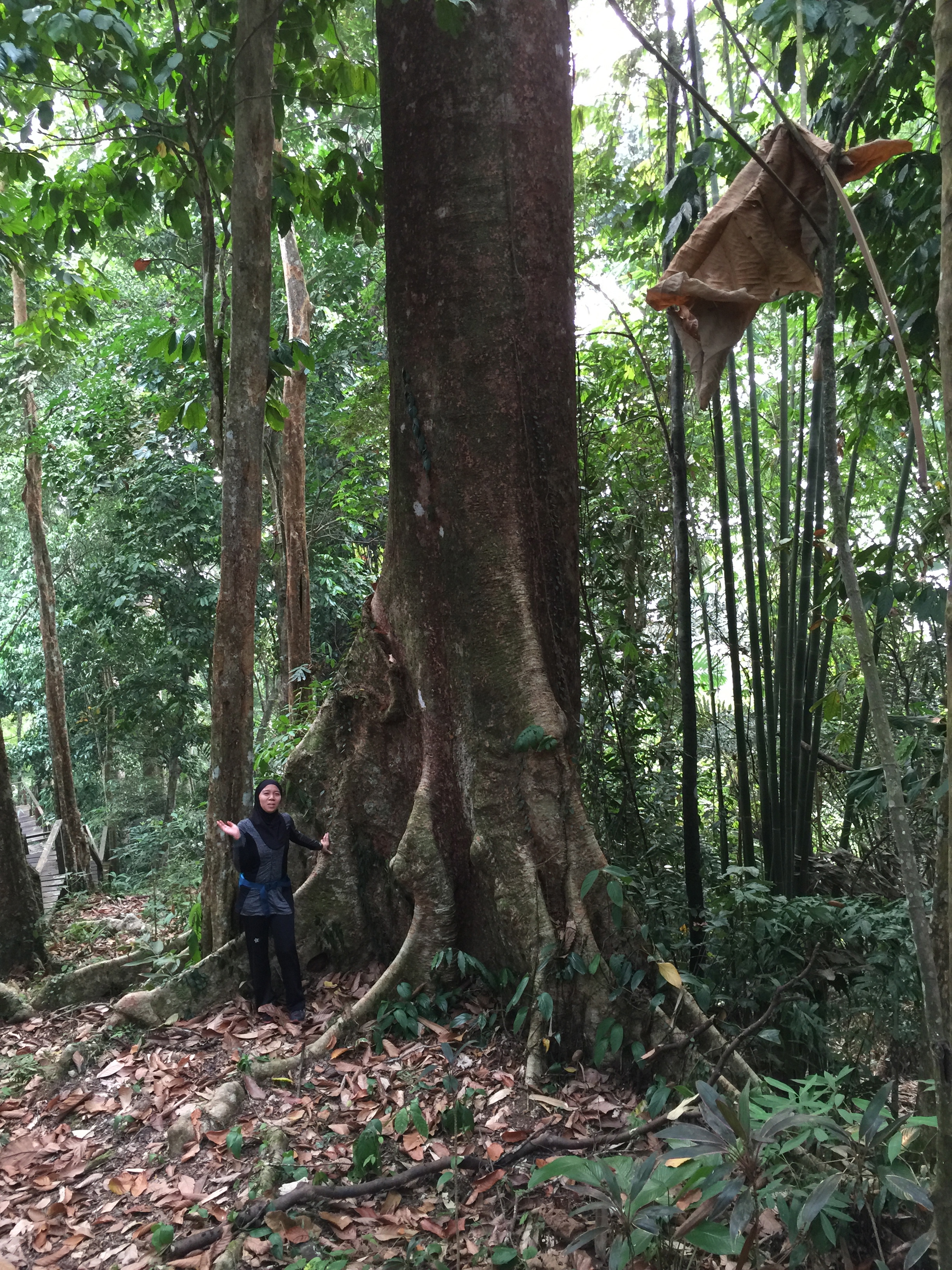
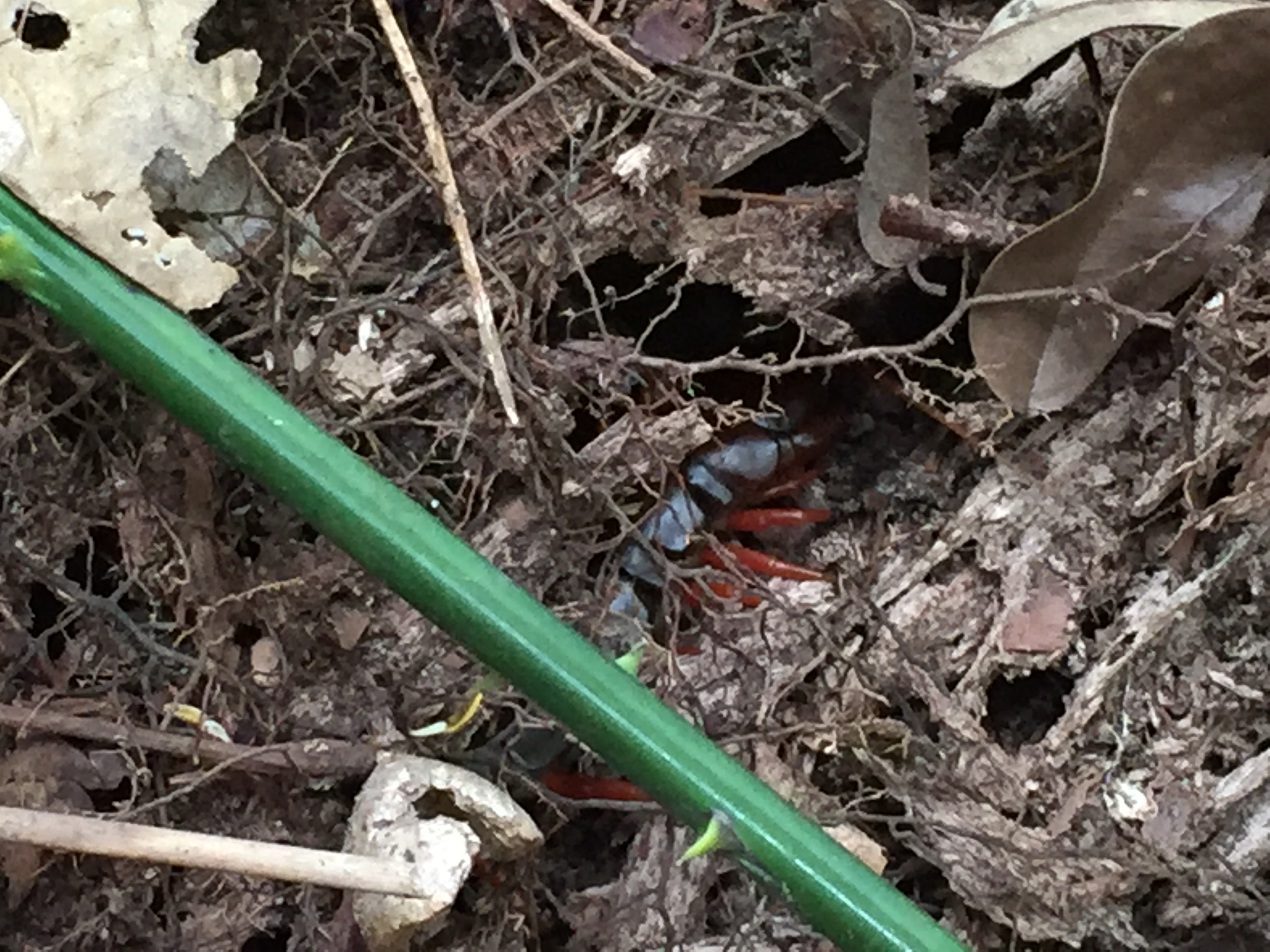 More flora and fauna.
 Sadly, the view at the top was blanketed by the haze. At least my Azeeza Zip Up is in a more cheerful shade of grey.
Difficulty level: 3/10 – Easy to Moderate (depending on your fitness level)
Duration: 4 hours, approx. 1600 ft.
Additional note: Bring your own water and gloves. Sneakers/ any work out shoes
I did not realise that this sleepy kampung has so much to offer. With some proper planning and infrastructure development, Bau has high potential to become a eco-tourism spot in the future.
Pristine, beautiful, and green – there is still so much more to explore and discover here.
Until next week,
The Weekend Runner.