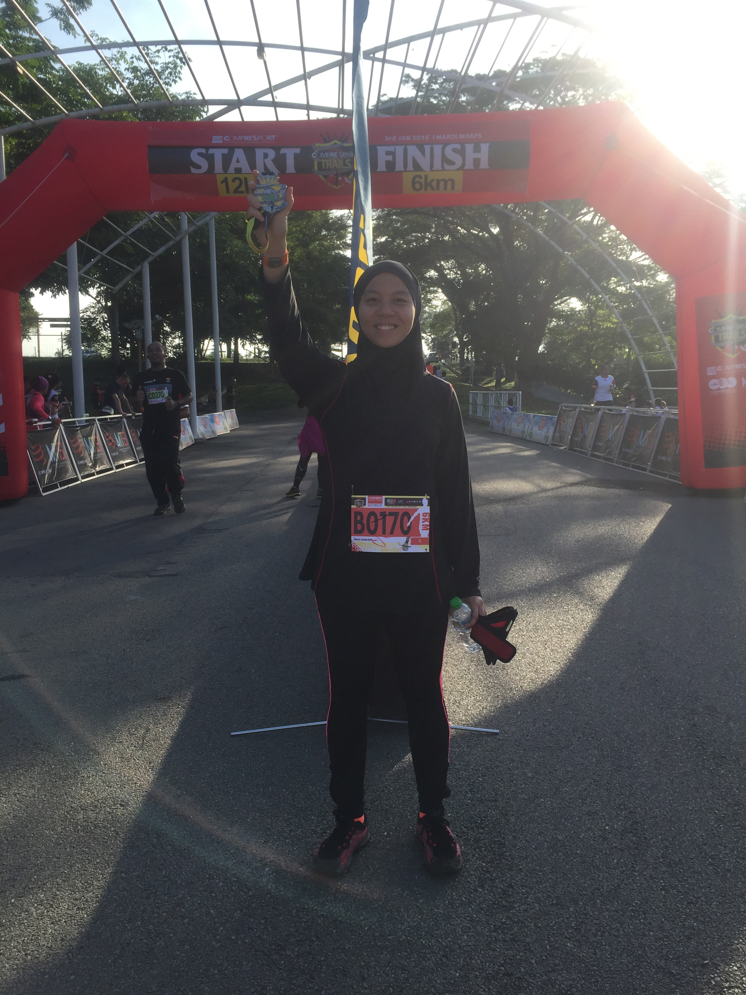
My new year began with a promising trip to Hong Kong for an overseas assignment. Needless to say, we immediately planned for new terrains to explore, to be inserted in-between assignments. Why waste an overseas opportunity right? Surprisingly there were many highly recommended ones. One would not normally associate “Hiking” with Hong Kong you see. We finally decided to indulge in two of the more popular sites, The Dragon’s Back Trail and Ng Tung Chai Waterfall.
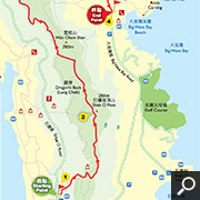
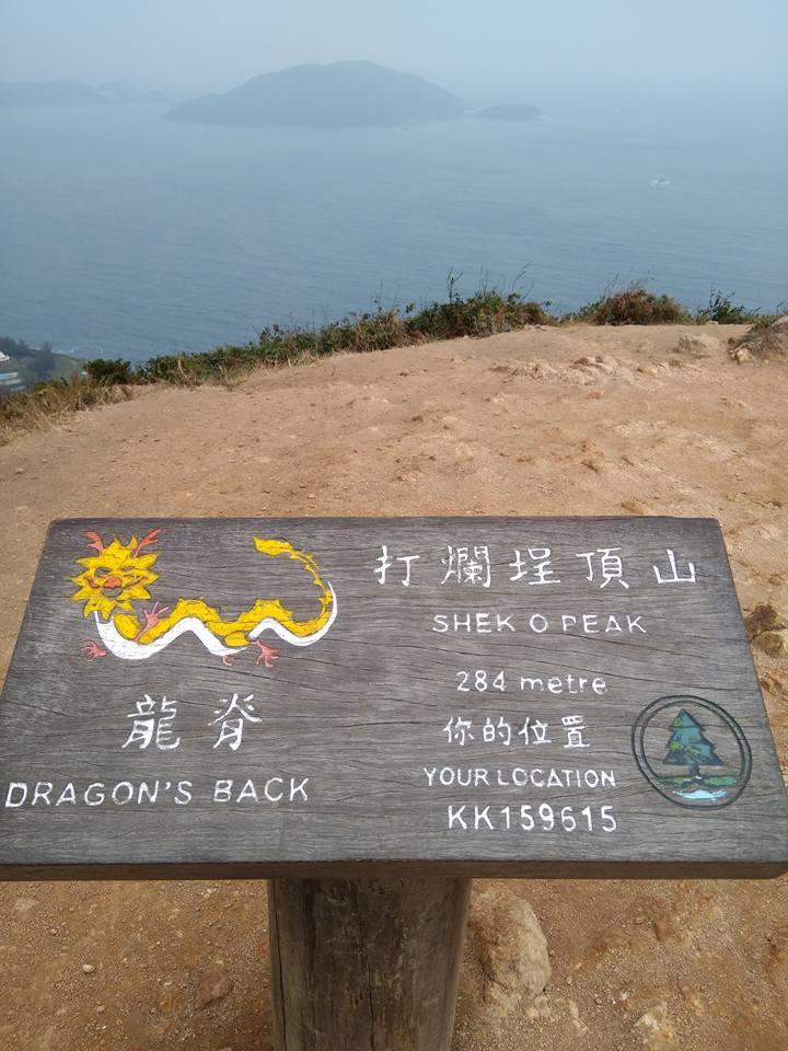
The Dragon’s Back is a popular escape that deservedly gets regular mentions in travel guidebooks. A short hop from the bustle of Hong Kong East, the trail provides stunning views of Shek O, Tai Long Wan, Stanley, Tai Tam, and the South China Sea. The Dragon’s Back is a path connecting Wan Cham Shan (226m) and Shek O Peak (284m), stretching vertically over D’Aguilar Peninsula. The path undulates between these hill tops, reminiscent of the shape of a dragon’s backbone.

The Dragon’s Back – 8.5km undulating path of connecting hills
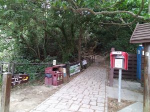
The Start Point – Shek O Wan
We started in the late morning after a good breakfast and completing my first assignment. The start point was easily accessible by bus but we took a cab since we were residing at Repulse Bay which was quite near. Do note that cab fares are rather high in Hong Kong. It was a sunny day and the temperature was between 14-15 degree Celsius. We dressed lightly and traveled light with just water, some energy boosters (chocolates and nuts!) and warm clothing just in case. A caution we took because the wind could be icy cold they say.
The initial climb up was a steep 60-75 degree elevation, mostly steps. We were surrounded by mainly shrubs and the view was awesome. It became magnificent as we reached the first peak. Do pardon us Singaporeans as the little red dot is although rich in other things, we are not blessed with natural monuments which our neighbours have aplenty. We get dumbstruck at the first sight of natural beauty hehe. We were struck first by the biting coldness of the wind which was blowing us off-balance!
The journey ahead from the first peak
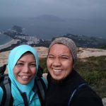
The view of South China Sea
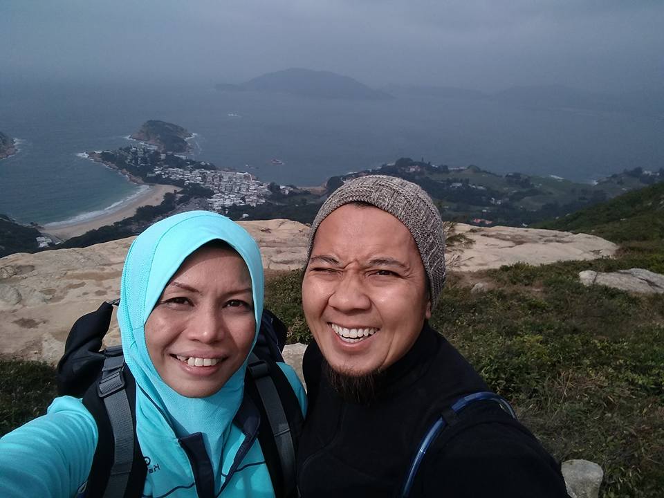
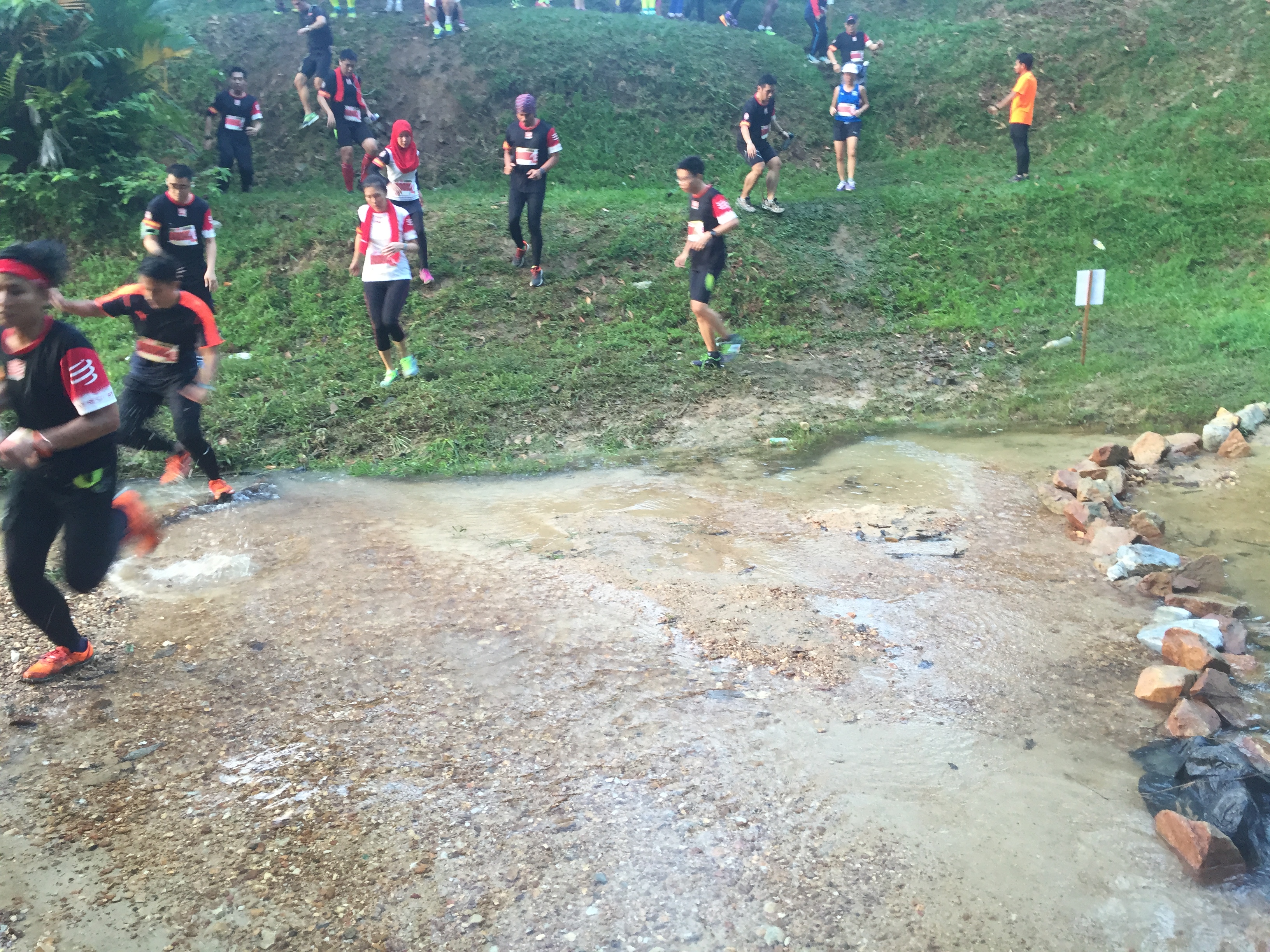
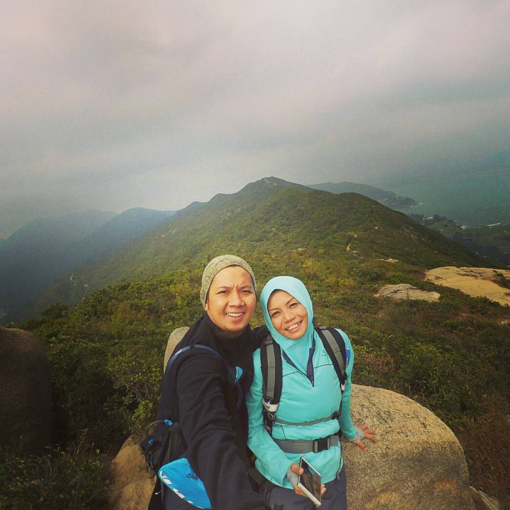
We continue the hike along the undulating hill tops that made up the dragon’s back, enjoying the fantastic view of the beaches, islands and South China Sea. Back in the army, walking along the ridgeline was a big mistake. I’m sure glad to be here today as a tourist! The highest peak was at 284 metres and it took us about 45mins. We stayed awhile to admire His wonderful creations, refuel and continue the remaining 7km towards the end point which is Big Wave Bay.
Difficulty level : 3/10 Beginners Total time Taken : 3hrs Satisfaction level : 100%
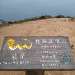
The peak at 284m
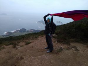
Look at the wind!
Two days later, we set off again across mainland Hong Kong towards the north.
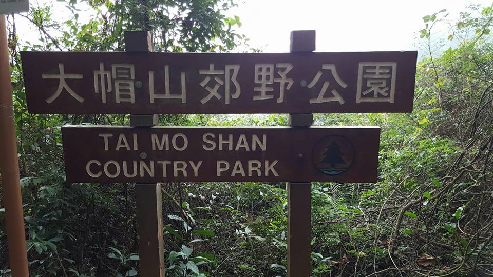
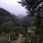
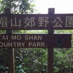
Ng Tung Chai Waterfall is the best-known and biggest waterfall in Hong Kong. Located at the northern side of Tai Mo Shan, Ng Tung Chai Waterfall consists of 4 waterfalls at different altitudes. From bottom to top, you will see Bottom Fall (Fall under the well), Middle Fall (Horse Tail Fall), Main Fall (Long Fall) and Scatter Fall. The steady flow of water of Ng Tung Chai Waterfall comes from Tai Mo Shan and irrigates the farmlands around Lam Tsuen River, and ends at Tolo Harbour.
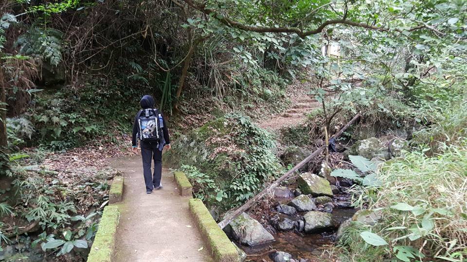
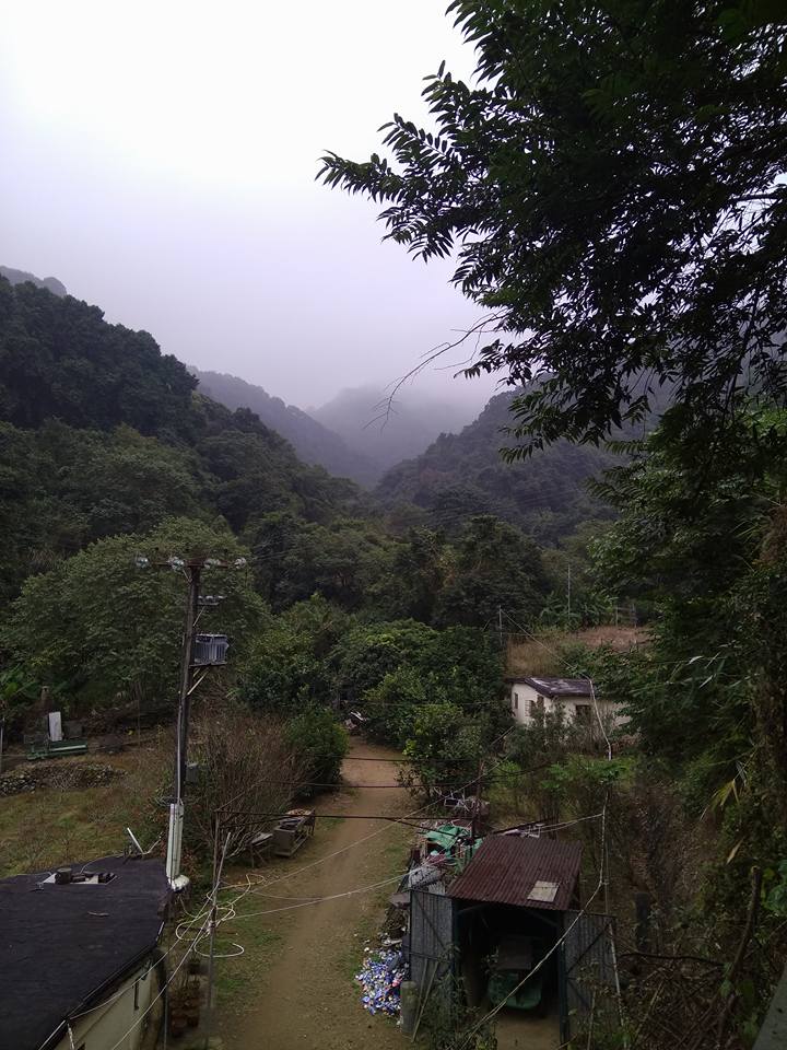
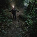
The scenic route towards the first fall
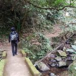
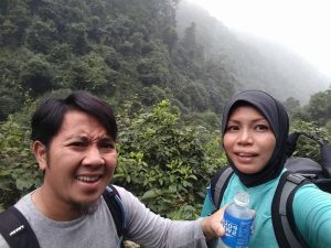
We took the MTR to Tai Poi Market Station followed by Bus 64k to the start point. It was drizzling and temperature was between 16-18 degree Celcius. My last visit to a waterfall was donkey years ago, so i was really excited for this trip. Again, do keep in mind that we are Singaporeans and there are no natural waterfalls here. Do excuse my raging excitement. The journey to the start point took nearly 2hrs. We started climbing around 3pm knowing that we had to start descending before dark which was by 6pm due to winter.
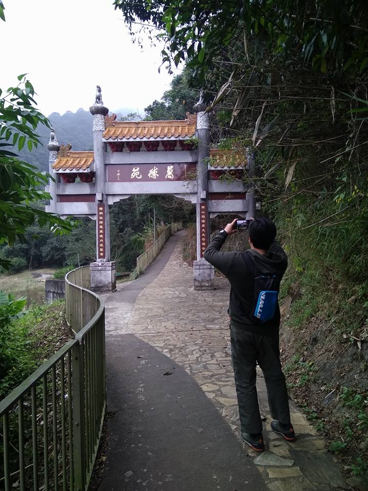
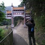
The initial climb was a series of steep winding slopes through a village, a cemetery, many dogs and a monastery. I would be kidding if i said that I did not feel frightened at all. I was! Kecut kejab jantung akak! I was well-trained in the army to somehow mask the expression and keep the fear in control. Fortunately, I have my partner to protect me Yeaaay! If I have long nails, it would have cut into his poor hands… (Good for him that I don’t).
Are we there yet??
Anyway, the ground was wet. The mud and slippery rocks made the climb much harder than it was and it took longer. We took great caution throughout as I remind myself that I was here in Hong Kong for work so, I couldn’t afford to get injured. Looking up and welcomed by more steps and up-slopes, the sight began to suck the life out of me. These are moments when I question myself why..Efah? Why did I choose to do this? (This usually happens around the 30km mark of a marathon, halfway through a round-island canoeing expedition and the likes. When your energy level in nearly used up and motivation is down low). However, the sounds of the roaring fall and snippet sights of its magnificence amidst the beautiful canopy, propelled us to continue climbing regardless of the exhaustion.
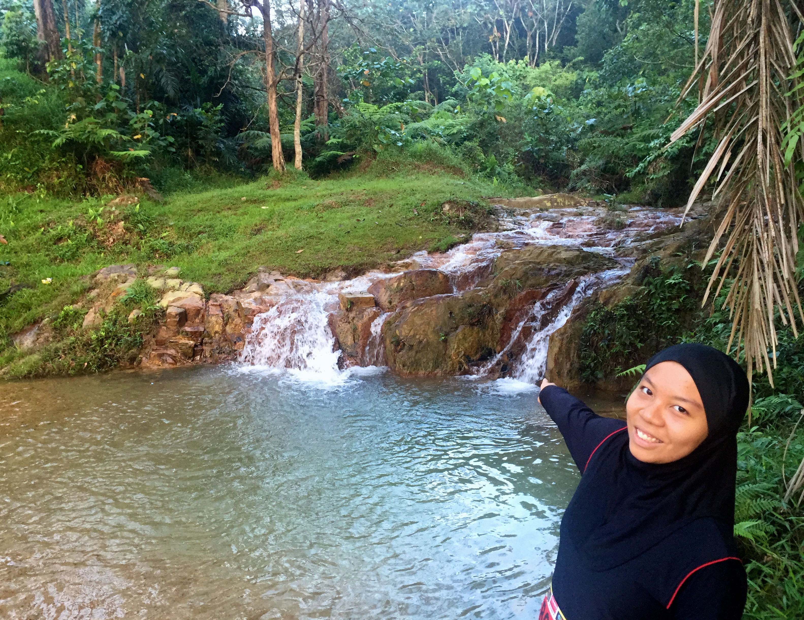
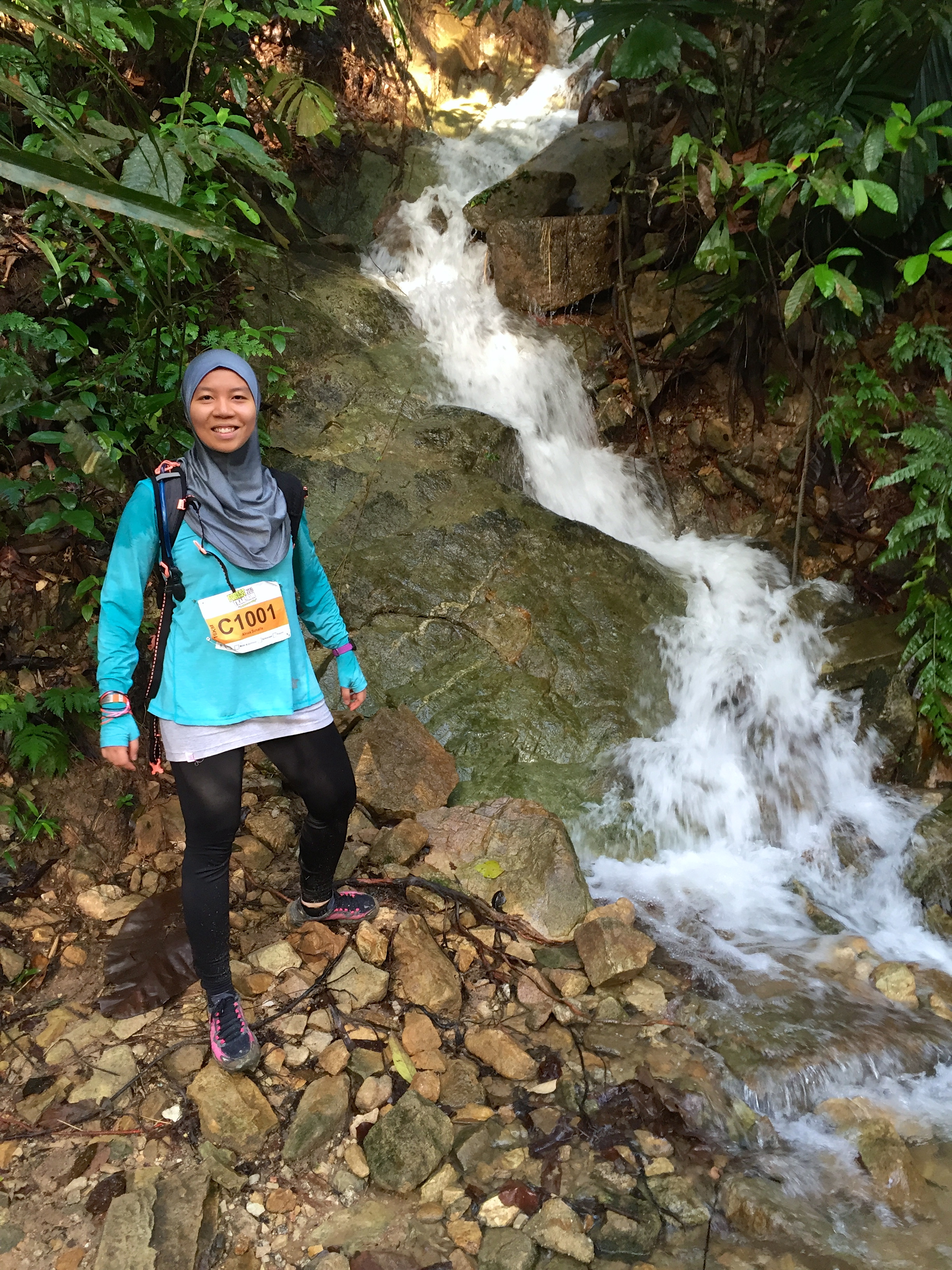
Alas, the first fall came into view. It was love at first sight. The sun was still shining and the reflection from the water made it magical. Allahu Akbar!
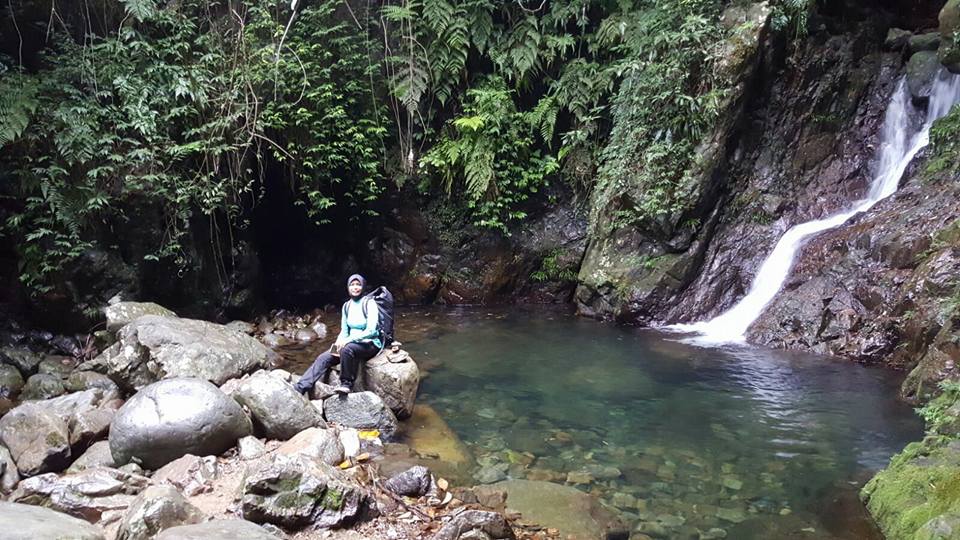
The Bottom Fall
I was reluctant to leave but I knew we were short for time. The Middle Fall was not too far away and it was more awesome ma shaa Allah. As darkness slowly looms above, we took a few moment to admire its magnificence before we hike on towards the last fall.
The Middle Fall
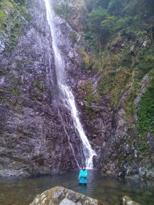
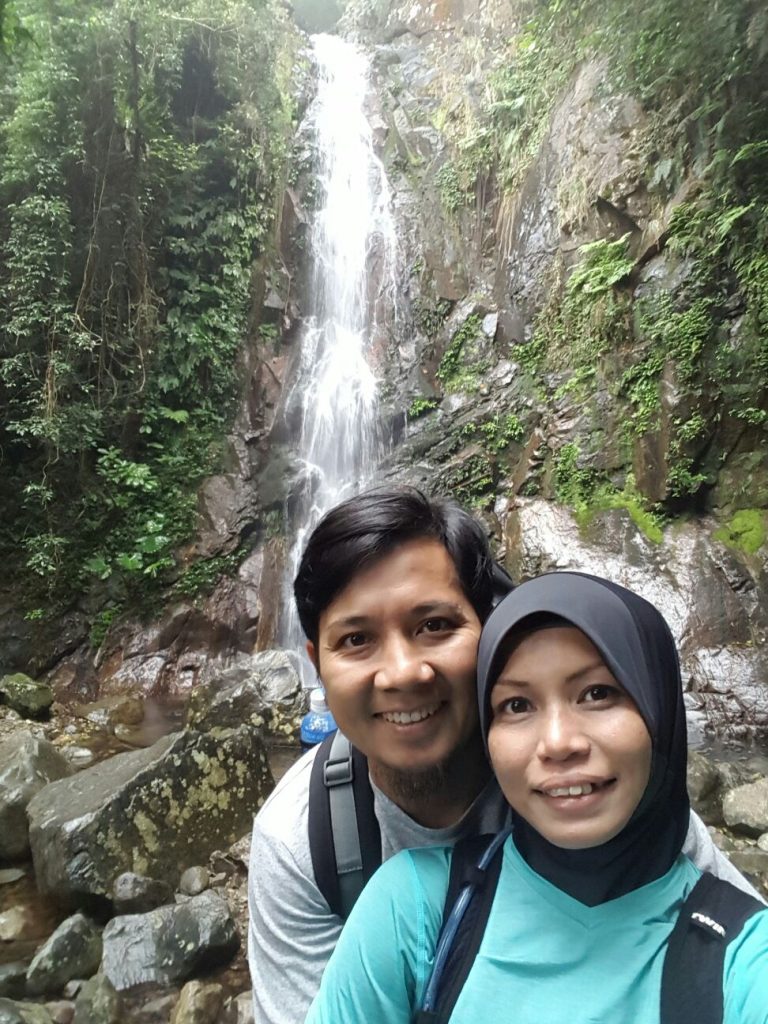
The Main Fall – We took a dip! If you can see my face, it was all frozen from the cold. I couldn’t feel my legs!
We took a wrong turn and had to retrace our steps. I was actually quite concern about time but I knew I had to reach the Main Fall regardless. The last one was much further than expected and I was totally exhausted but the view that welcomed us was worth every ounce of pain and effort! We performed Asr by the fall which was totally invigorating. The experience brought khusyuk and gratitude towards the blessings of the AlMighty to a whole different level.
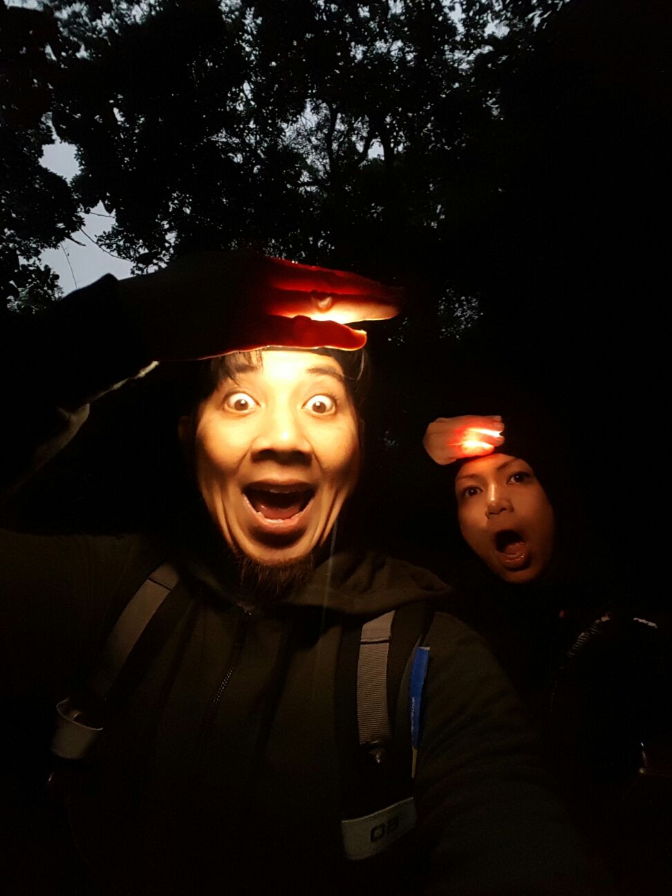
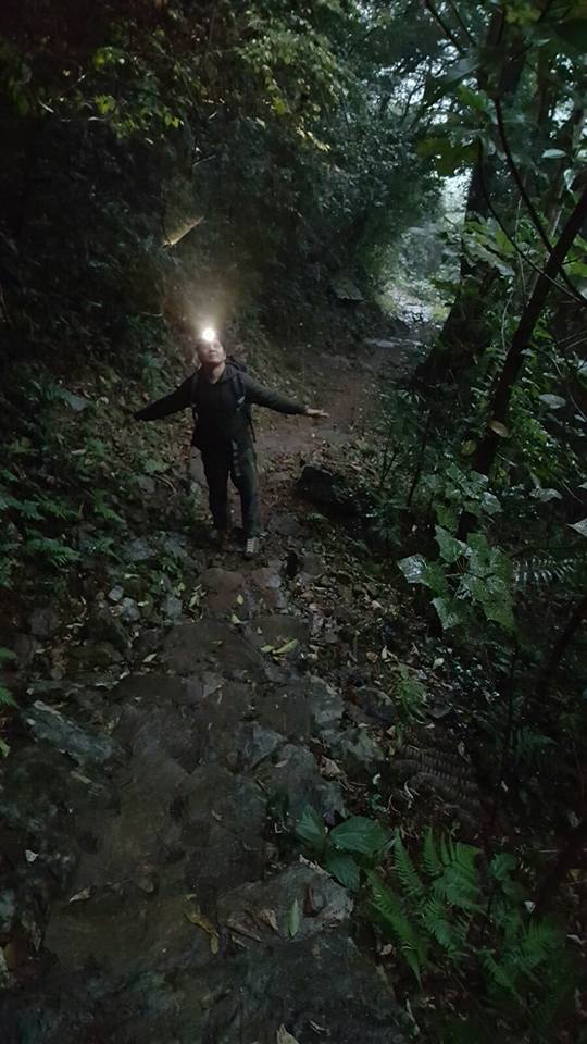
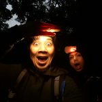
Darkness falls and out came the headlamps! We changed and made our way down the same path. The trek continues to the peak of Tai Mo Shan but we only planned to visit the falls so down we go, back to reality.
Descending was easier of course but much tougher for our aged and torn knees. After “swimming” in the icy cold water, I couldn’t feel my toes so my shoes felt empty. It was rocky, muddy and slippery from the rain so it was doubly hard to get down. Every step was a calculated one. I slipped a few times, heart dropping moments as I see the steep fall below.

As we stride towards the last stretch, hand in hand, (limbs no longer cooperating), I reflected on the journey we took. Like life itself, I know that in my best and toughest moments, He will always be there and He gives me the best company always.
To more adventures!
Difficulty level: 5/10 Satisfaction level : 100% Total Time Taken : 4hrs
Things to note: Wearing the right attire is of utmost important to ensure safety and comfort throughout the whole journey. I am glad I have on comfortable and modest ones. Ensure you have sufficient water and food to sustain and replenish your energy. Do read about the destination, heed warnings and check the weather condition especially if you are going up by yourself. Get a great buddy for your trips! Enjoy and be safe!
Love, Efah Anuar